

Words: Keith Drew
There’s a higher density of historical sites on the jewel-like Scilly Isles than anywhere else in the country, so set sail for a voyage through British history
Lying in the Atlantic some 28 miles off the coast of mainland Cornwall, the rugged outcrops that make up the Isles of Scilly are at the frontier of England, a scattering of isolated but tightknit communities that are British in name if not, with their powdery beaches and tropical plant life, in nature. Most people’s first taste of the Scillies is St Mary’s, which emerges from the ocean as the ferry chugs towards Hugh Town harbour or spreads bucolically out beneath them as their plane swoops in to land at the island’s airport.
The largest and most populated of Scilly’s five inhabited islands – although it still measures just six square miles and is home to only 1,800 residents – St Mary’s is a fascinating microcosm of British history, home to everything from Bronze Age burial chambers and Iron Age villages through to Elizabethan castles and maritime defences built during the Second World War.
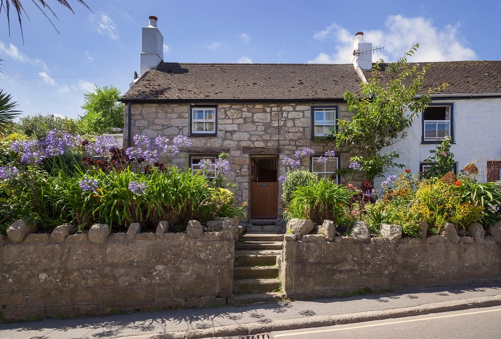
Hugh Town, Scilly’s de facto capital, is the island’s hub, a few parallel streets wedged in between the white-sand smiles of Town Beach, to the north, and Porthcressa Beach, to the south. In the morning, little day-tripper boats depart from its bustling harbour for the off-islands of St Martin’s, Tresco, Bryher and St Agnes, or out into the waters around St Mary’s to spot puffins, Manx shearwaters and the bobbing blobs of Atlantic grey seals.
Pop into the Grade II-listed Town Hall, on Silver Street, which is serving as the interim home for the Isles of Scilly Museum while they fundraise for new premises. The museum’s archive ranges from Romano-British coins to salvaged cargo from the MV Cita, which ran aground on Newfoundland Point, on the southeast side of St Mary’s, in 1997, the latest in a long line of ships to fall foul of the ragged reefs and treacherous waters around Scilly.
Few places can count a bus stop among their list of attractions, but the “Glass Shelter for Scilly”, on The Strand, just behind the Town Hall, is exactly that; designed by local stained-glass artist Oriel Hicks, its glazed panels celebrate Scillonian history, heritage, flora and fauna.
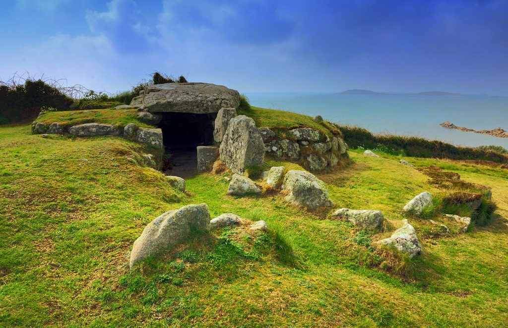
Head to the north end of the island, just two miles up the road, for evocative traces of early life on St Mary’s. Set among heathland, and with tremendous views down across the channel of St Mary’s Road to neighbouring Tresco, the remarkably well-preserved burial chamber of Bant’s Carn dates back to the Bronze Age. Known as a Scillonian entrance grave – this type of tomb existed only on Scilly (where 90 per cent of them are found) and in the western tip of mainland Cornwall – the chamber revealed cremated human bones and pieces of 4,000-year-old pottery when it was excavated by archaeologist George Bonsor in 1900.


